Overview
Spences Bridge Gold Belt, BC
The Ashton property is located near Lytton in southern British Columbia, 19 km south of Spences Bridge on the east bank of the Thompson River. It sits adjacent to the Trans-Canada Highway and the mainline of the Canadian Pacific Railway — exceptional access for a mineral exploration property.
The property is situated near, and likely a major source for, the Nicoamen River placer gold deposits whose 1858 discovery helped spark the Fraser River gold rush. It was staked ahead of the recent exploration rush driven by Westhaven Gold's discovery of epithermal precious metals in the Spences Bridge Group — which is on the property.
Location
East bank of the Thompson River
19 km south of Spences Bridge
Near Lytton, BC
Access
Adjacent to Trans-Canada Hwy and CPR mainline
Gold Belt
Spences Bridge Gold Belt — Spences Bridge Group present on property
Ore system evidence
Porphyry Cu-Au · High-sulphidation epithermal Cu-Au · Porphyry-related low-sulphidation epithermal Au
Property Map
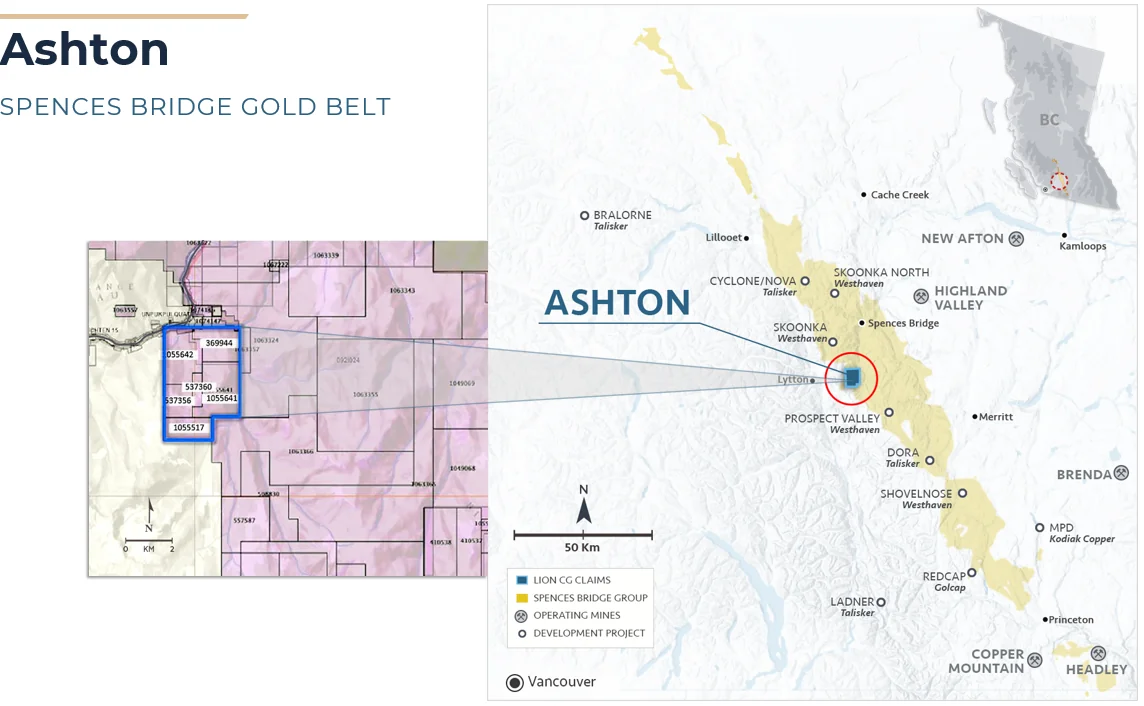
Ashton property — Spences Bridge Gold Belt, BC
Historical Exploration
Decades of consistent results
Large copper soil anomaly identified on the property.
VLF-EM survey outlined a prominent north-striking magnetic anomaly.
Geochemical sampling and limited mapping confirmed the copper anomaly. Significant chargeable and resistivity target identified coincident with copper anomaly and altered diorite.
Seven-hole reverse circulation (RC) program of 816 metres completed.
Deep-probe induced polarization (IP) survey completed.
Magnetic surveying showed anomalous magnetism trending north.
Second reconnaissance deep-probe IP survey completed.
Follow-up rock sampling showed anomalous gold pathfinder elements (Te, Hg, As, Sb, Se, Ag), leading to a partial-leach (MMI) geochemical survey.
Additional partial-leach sample lines extended the MMI anomaly a further 300 m to the south.
Additional total-field magnetic surveying conducted.
Data revealed the "Ashton Anomalous Zone" — a copper-gold-silver anomaly with a NNW strike over 1,500 m, open to the NNW and SSE.
Field Geology
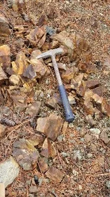
Phyllic altered diorite
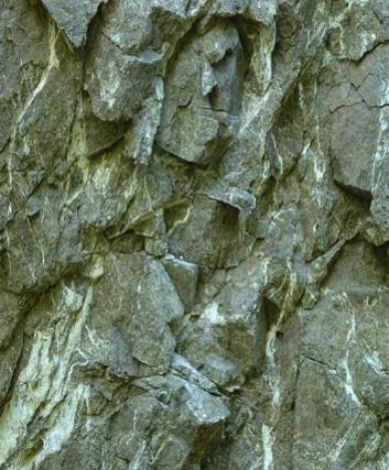
Chlorite-epidote alteration
Learn more about Ashton
Contact Houston Minerals for additional details or to explore investment opportunities.
[email protected]